

Photo Gallery
Help preserve the past by contributing to our collection of old photographs of Suffield.
If you have old Suffield photos, take a picture with your phone at high resolution in good light, or scan it, and contact us. Or contact us and we will scan it for you.
Click photos to expand larger

A Tour on Main Street

1683 Suffield Map
Drawn by Hezikiah Spencer Sheldon around 1875.

1968 Reproduction
of an 1869 Map of Suffield

First Baptist Church

219 North Main Street

First National Bank of Suffield

Fire House

Main Street

Town Green

Town Hall
The Pool, a curative mineral spring (1807–1824)
The temperance movement and the success of Saratoga Springs, NY and Stafford Springs, CT lead to the development of a resort hotel and spa at the site of a sulpher spring at the end of Poole Road.

Suffield Agricultural Park (1880–1917)
Martin Sheldon enjoyed visiting Saratoga Springs for the horse racing and wanted to build a track in Suffield. He named it the Suffield Agricultural Park in order to have the idea more easily accepted. The half mile harness race track was located where McAlister Intermediate School currently stands. There were additional buildings for cattle, sheep, and swine as well as booths for fruits, vegetables, home preserves, and handiwork such as patchwork quilts.

Flood of August 19, 1955
Stoney Brooke below Schwartz dam with the Holloway House, 552 Boston Neck Road. The flooding was caused by the rains from Hurricane Connie and Hurricane Diane. On August 11, Hurricane Connie swept through the East coast-missing Connecticut, but bringing about 4 to 6 inches of rainfall to the state on August 13. Hurricane Diane came through the following week.

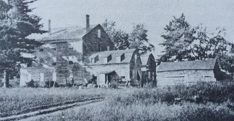
Austin Tavern
Austin Tavern next to the old First National Bank in the center of town. George Washington is said to have stopped at this tavern.